-
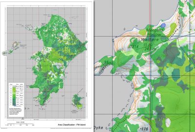
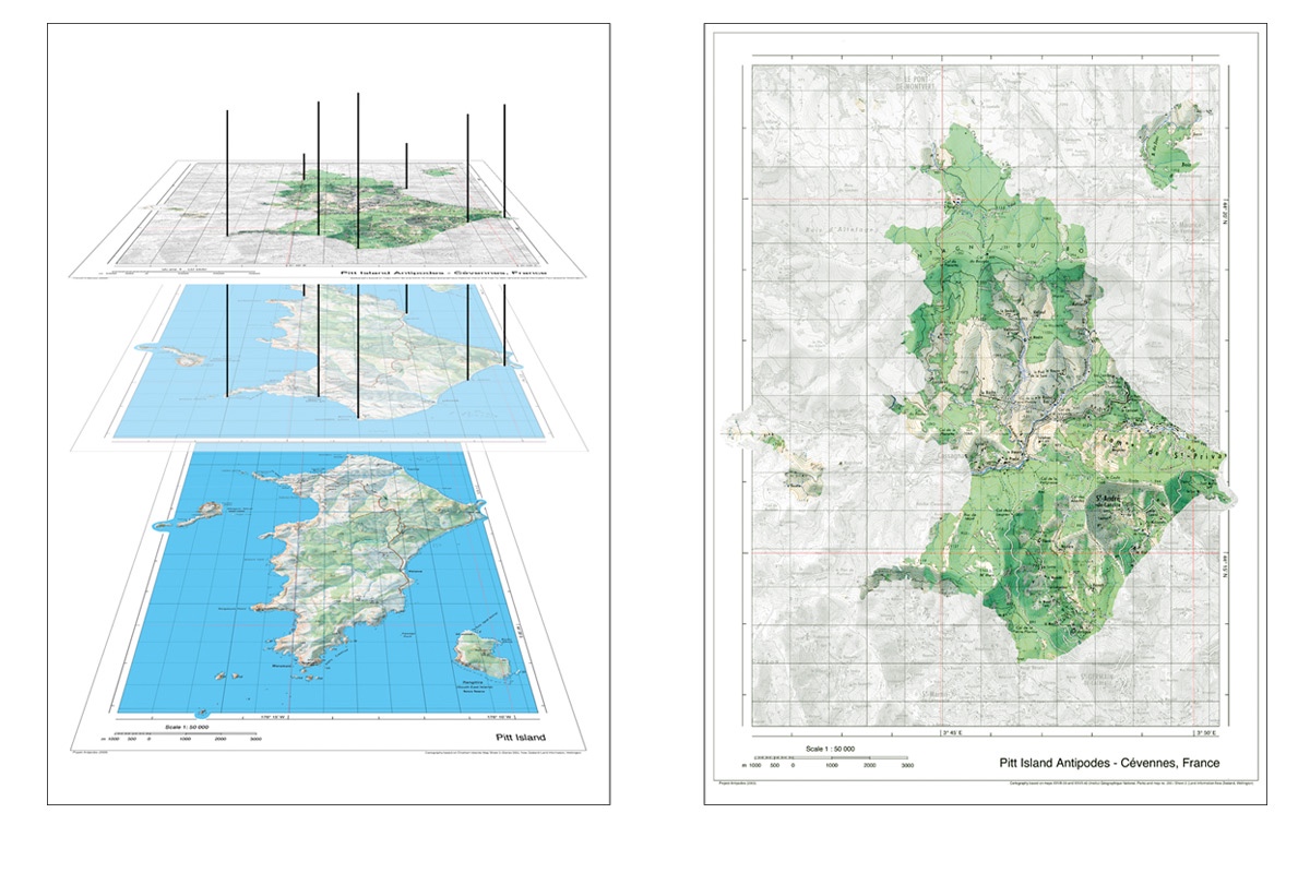
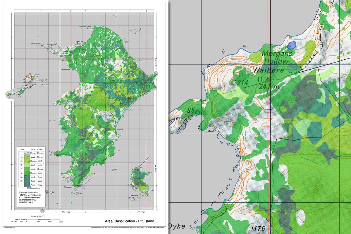
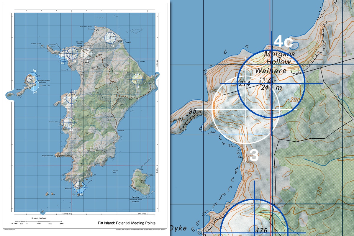
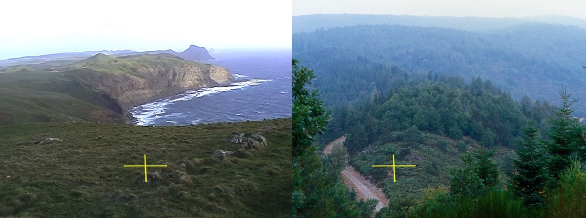
- Klassifikation von Pitt Island nach Dichte der Vegetation
-
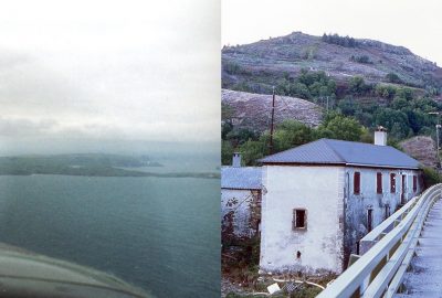
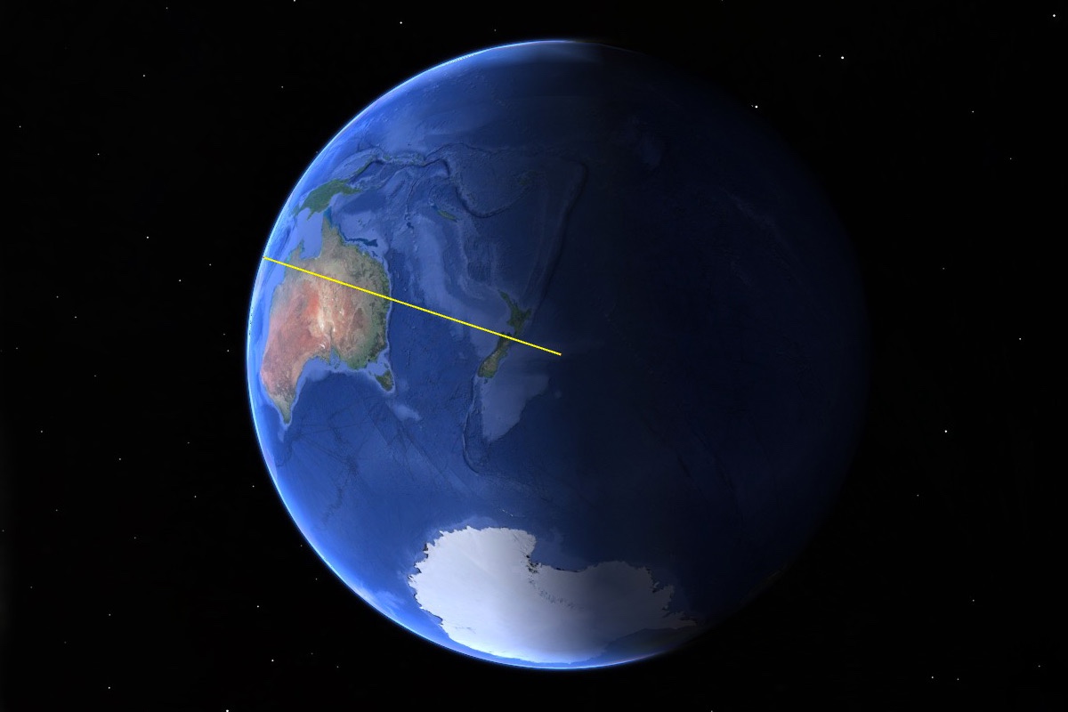
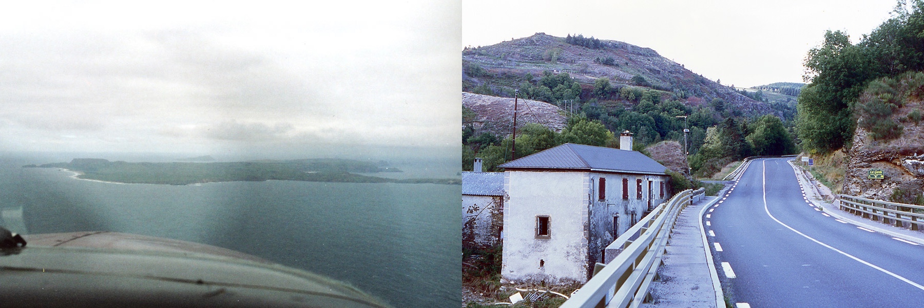
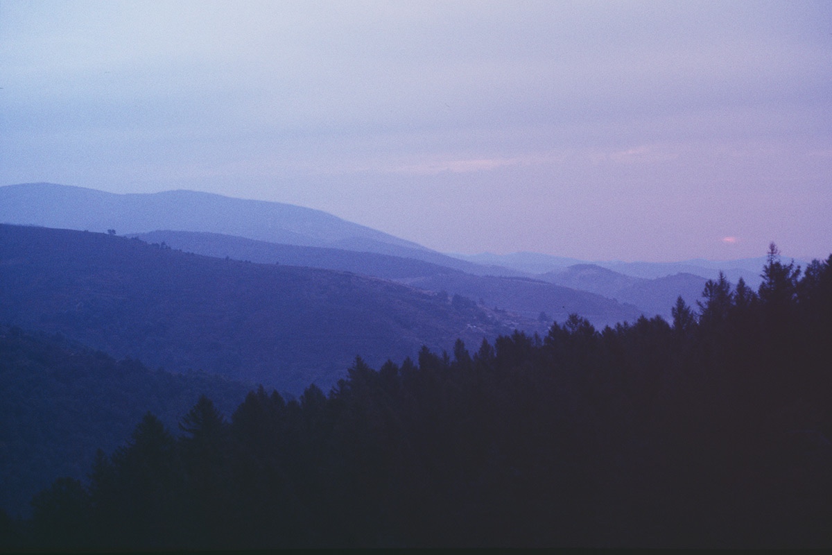
- Arrival on Pitt Island and in the Cévennes National Park
-
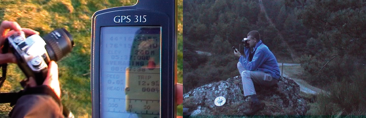
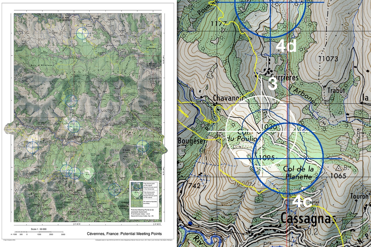
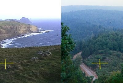
- Visiting and marking of the charted points.

-
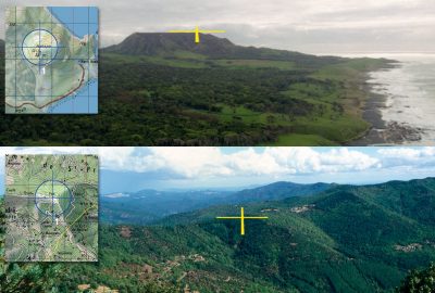
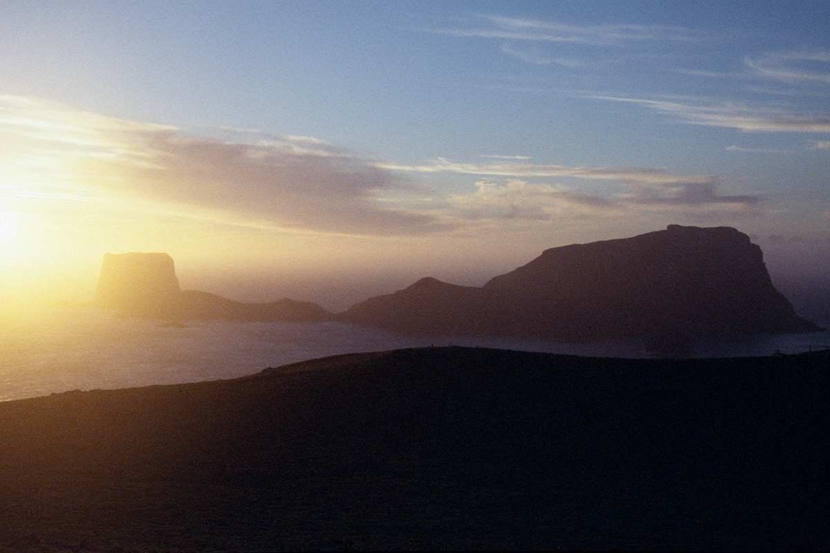
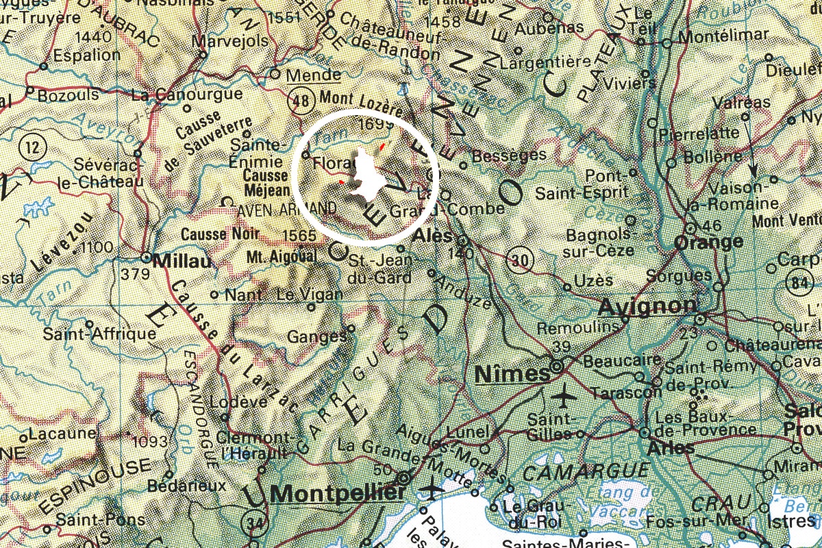
- Promising according to the maps but discarded after on-site inspection: Mount Hakepa and the Le Cayla range

-
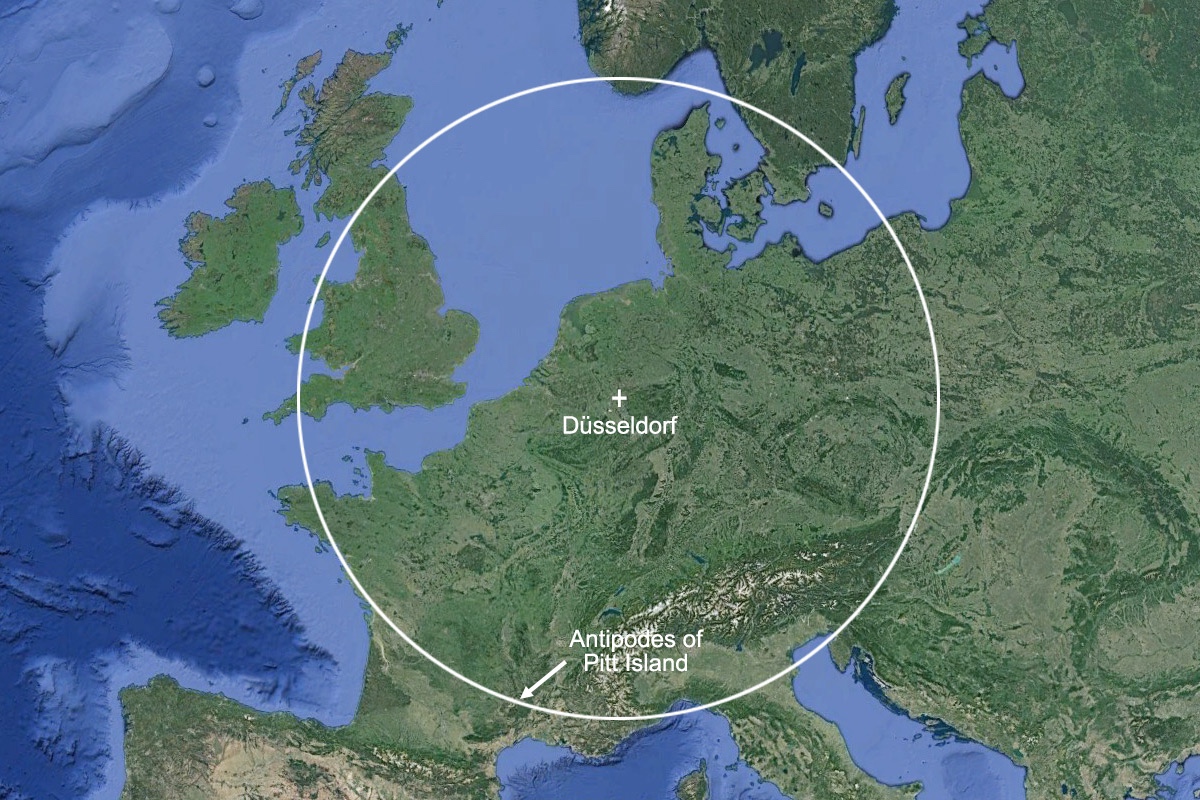
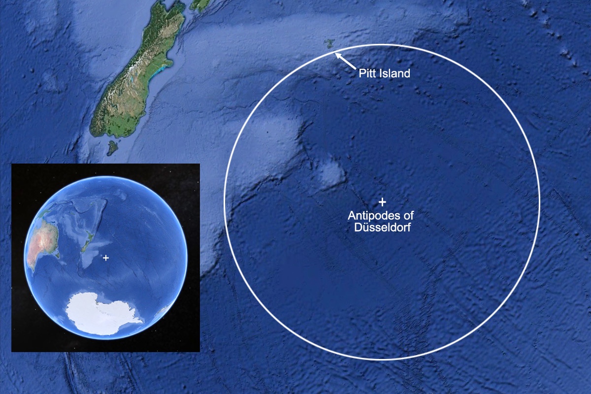
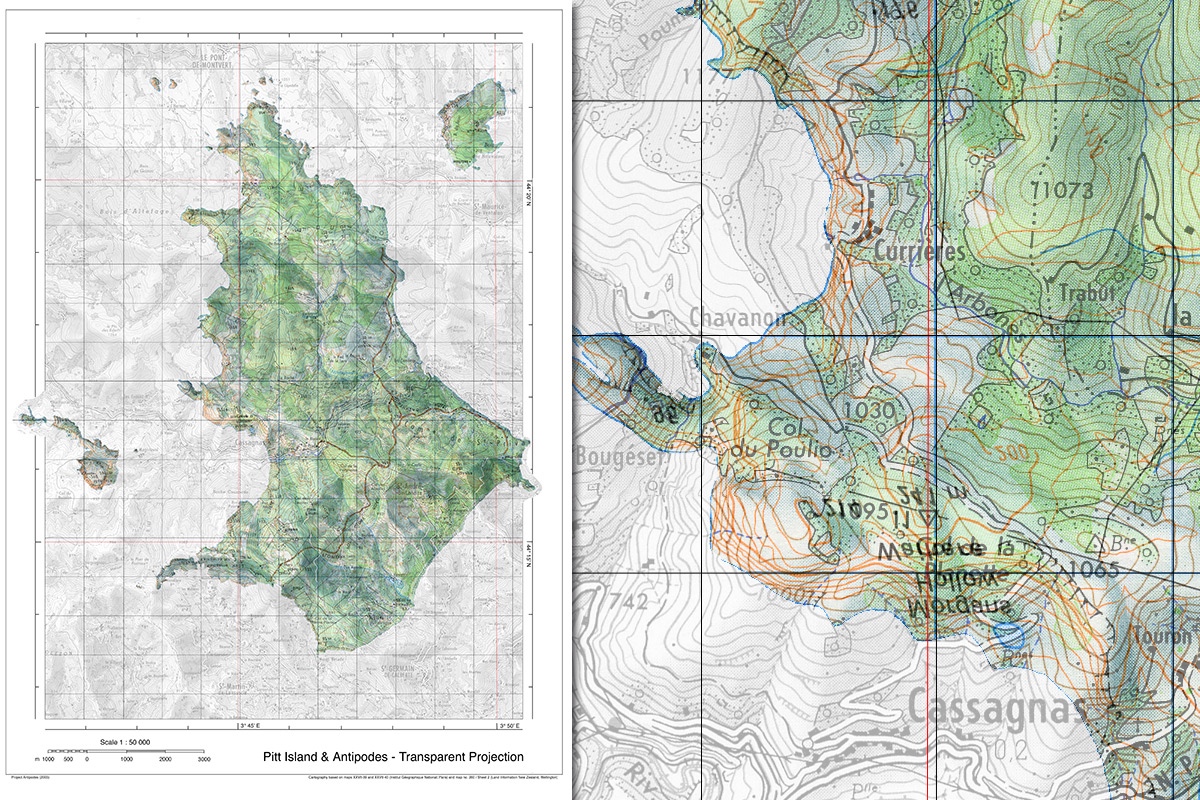
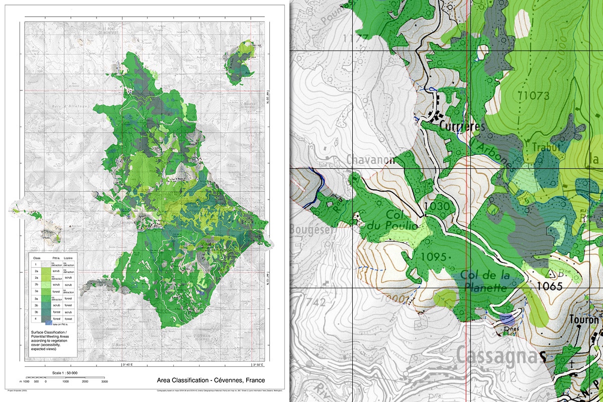
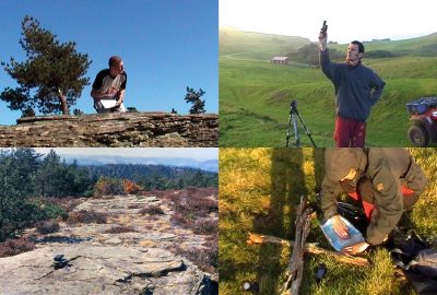
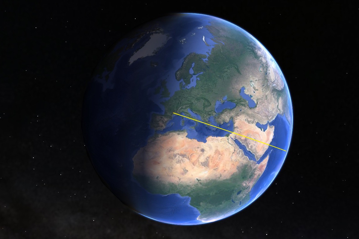
- Antipodes almost perfect on the meter: 44°16′.985 S / 176° 15′.343 W (Pitt Island) and 44°16′.993 N / 3° 44′.662 E (Col du Poulio, Cévennes)
-
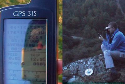
- Moment of the synchronous shot.